Geological Information Directorate
Geological Information Directorate:
The Islamic republic of Afghanistan is committed to improve mineral resources; raise awareness and knowledge about mineral resources in the country. Based on this principle Ministry of Mines and Petroleum (MoMP), as a responsible sector is assigned to collect and provide all geological information for all investors sectors including academic institutions, investors and public.
The existing information about mineral resources in Afghanistan contains geological maps, reports, etc. The Geological Information Directorate of Afghanistan Geological Survey is responsible for providing and collecting all the technical information of all geological data related to mineral improvement.
Main Activities of Directorate:
To achieve the goal and provide better services, the Geological Information Directorate is responsible for below activities.
- Design and prepare the work plans of directorate based on Afghanistan Geological Survey Deputyships plan.
- Provide access to the geological maps and information for all academic and research institutions, inverters, governmental organization, and other private sector to encourage and promote investments and research developments in solid mining and hydrocarbon sector.
- Preparing geological and topographical maps using GIS and remote sensing technique
- Technical and administrative capacity building
- Decision making on implementation of organization plans and programs, and provide technical advices for Afghanistan Geological Survey.
Organizational Structure:
To carry out the above-mentioned tasks and provide services, the Geological Information Directorate has the below mentioned section:
- Executive Management
- Natural Resource Collection Department
- Geological Information Department
- Geological information Publication Department
Description of each Section Activities
Executive management
The description to this section will be add later.
Natural Resources Collection Department:
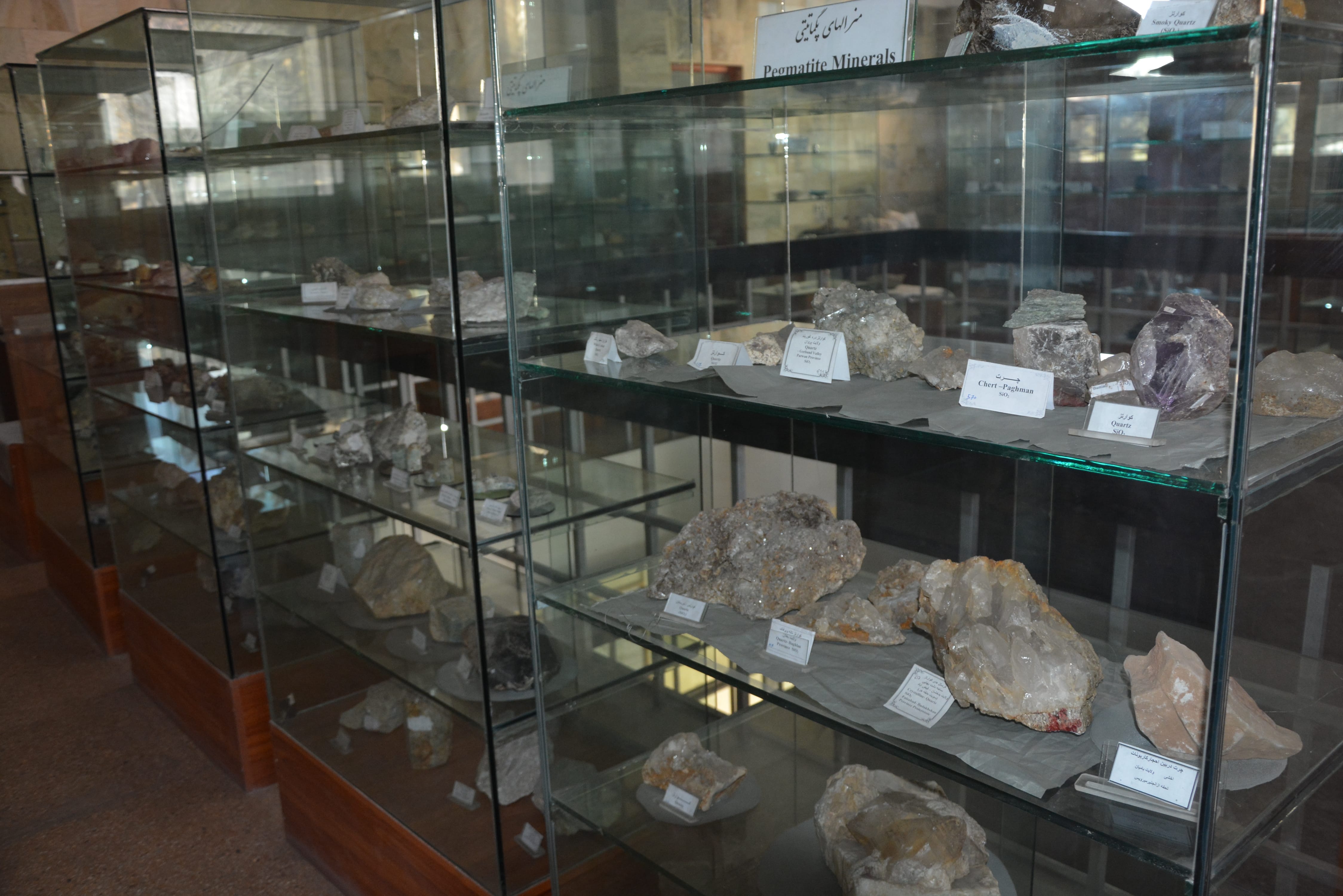
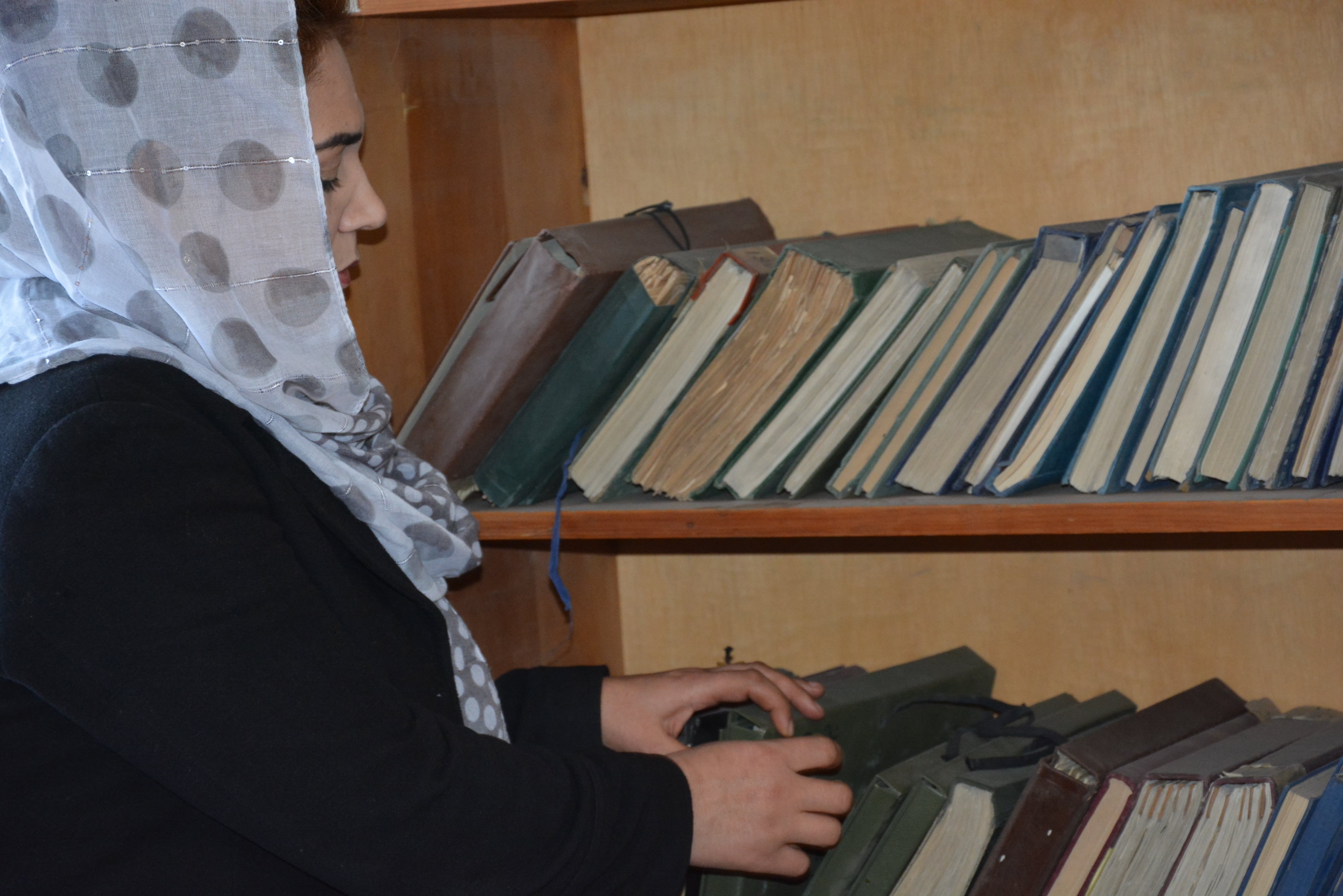
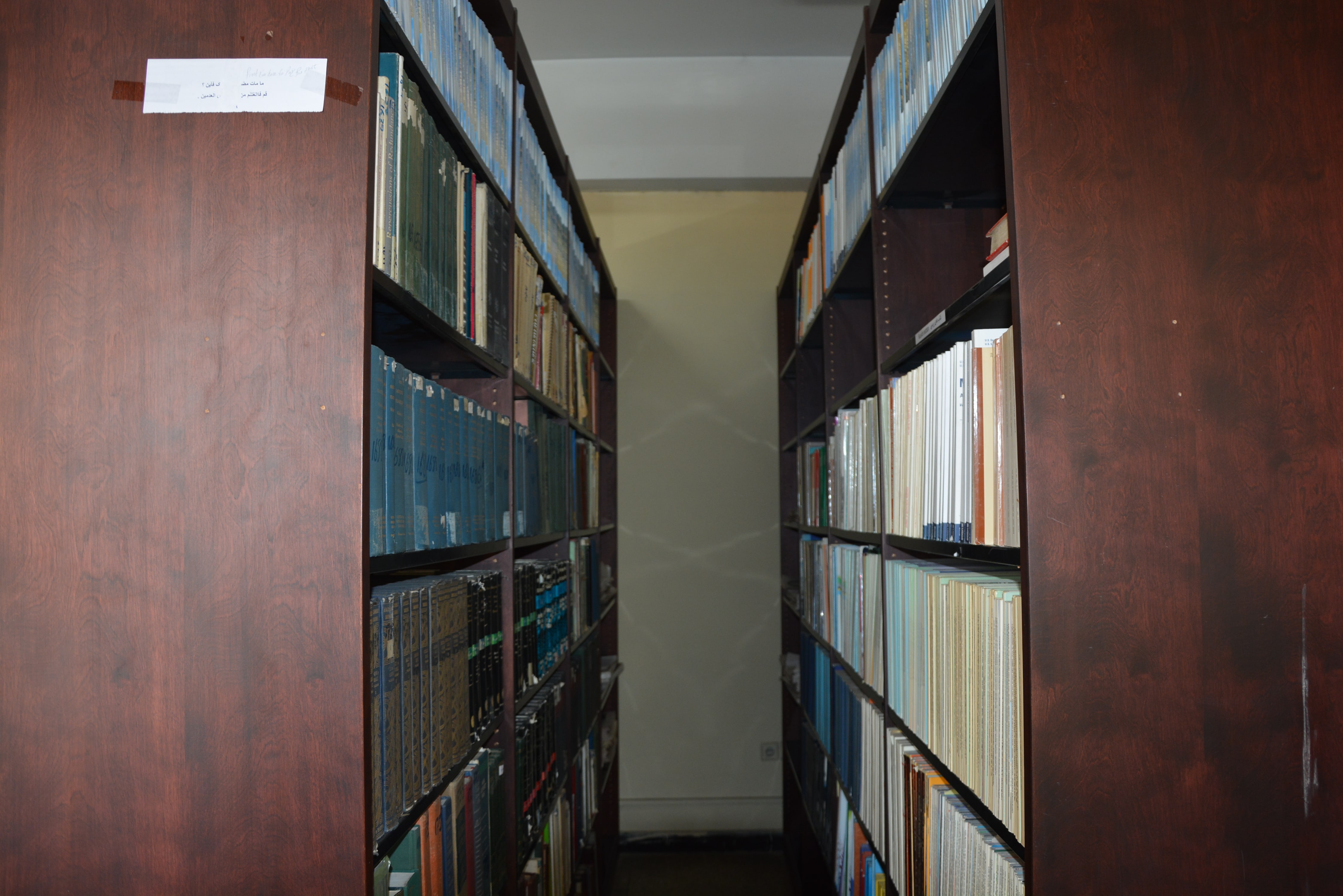
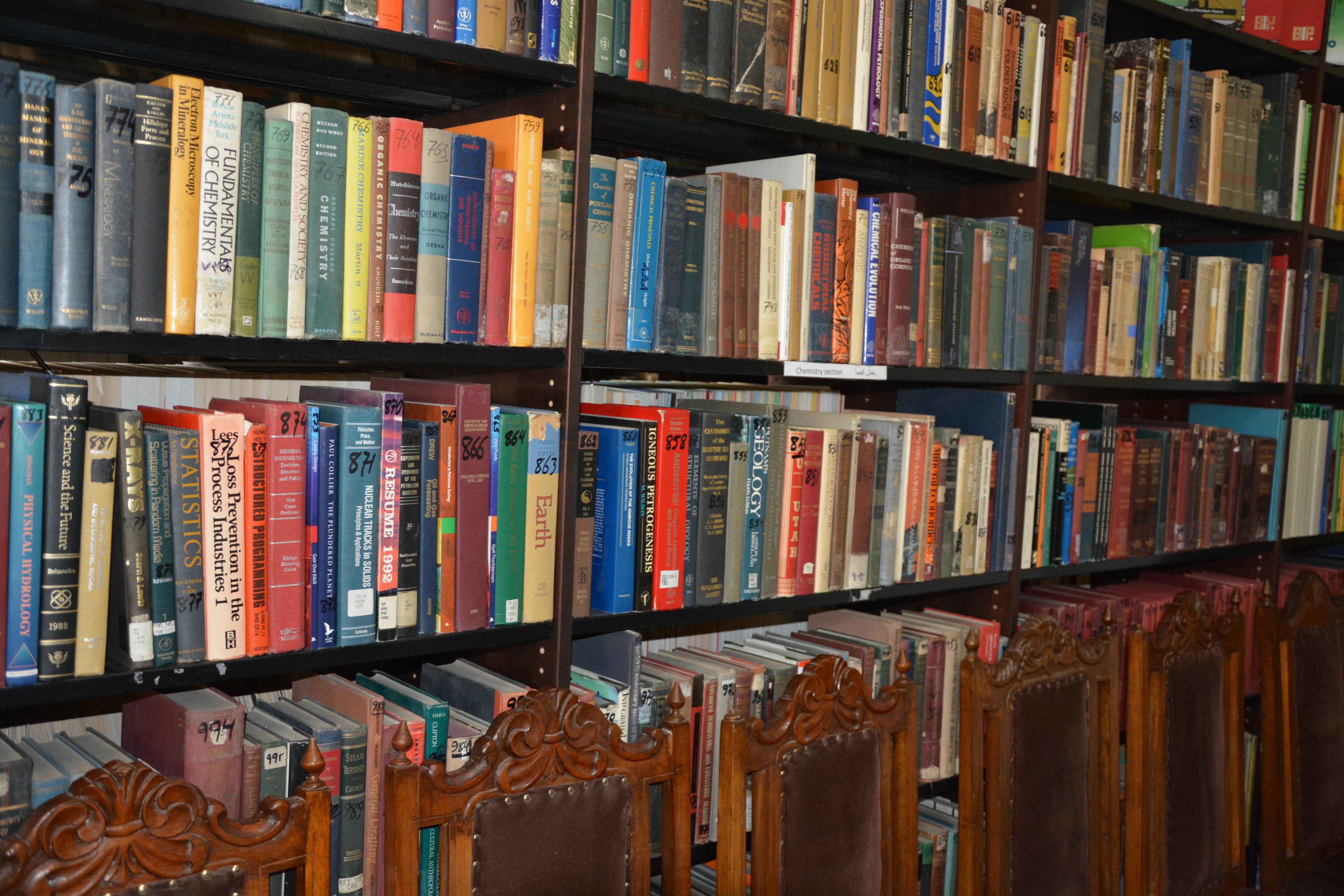
The Natural Resources Collection Department is one of the main section of Geological Information Directorate and its goals are organization of library, archive, collection of materials and Afghanistan Geological Survey Museum, provide access to the geological information (Geological Reports, Geological and Topographical Maps, Aerial photos, Hyperspectral maps (printed) and held geological samples exhibitions) for sectors based on top management approval.
To carry out the responsibilities the Natural Resources Collection Department has the below sections:
- Museum General Management
- Academic Archive Management
- Material Collection Management
- Material Supervision Management
- Library Management
Museum General Management:
The main task of this section is to control, supervise the organization, prepare, and describe the geological materials and improvement of Afghanistan Geological Survey’s Museum to provide better academic services for visitors. The activities are described as below:

Academic Archive Management:
The main task of this management is to store and save documents, books and other academic materials for academic research study of researchers and other visitors.
Material Collection Management:
The main goal of this management is to prepare, organize and collect all geological material to complete the geological material collection of Afghanistan.
Material supervision Management:
The main task of this management is the supervision and control of preservation, prepare and organization of geological materials in the storage.
Library Management:
The main purpose of this section is to provide and complete the necessary material, effective use, and preserve the library of Afghanistan Geological Survey and Ministry of Mine and Petroleum. The main tasks are as below.
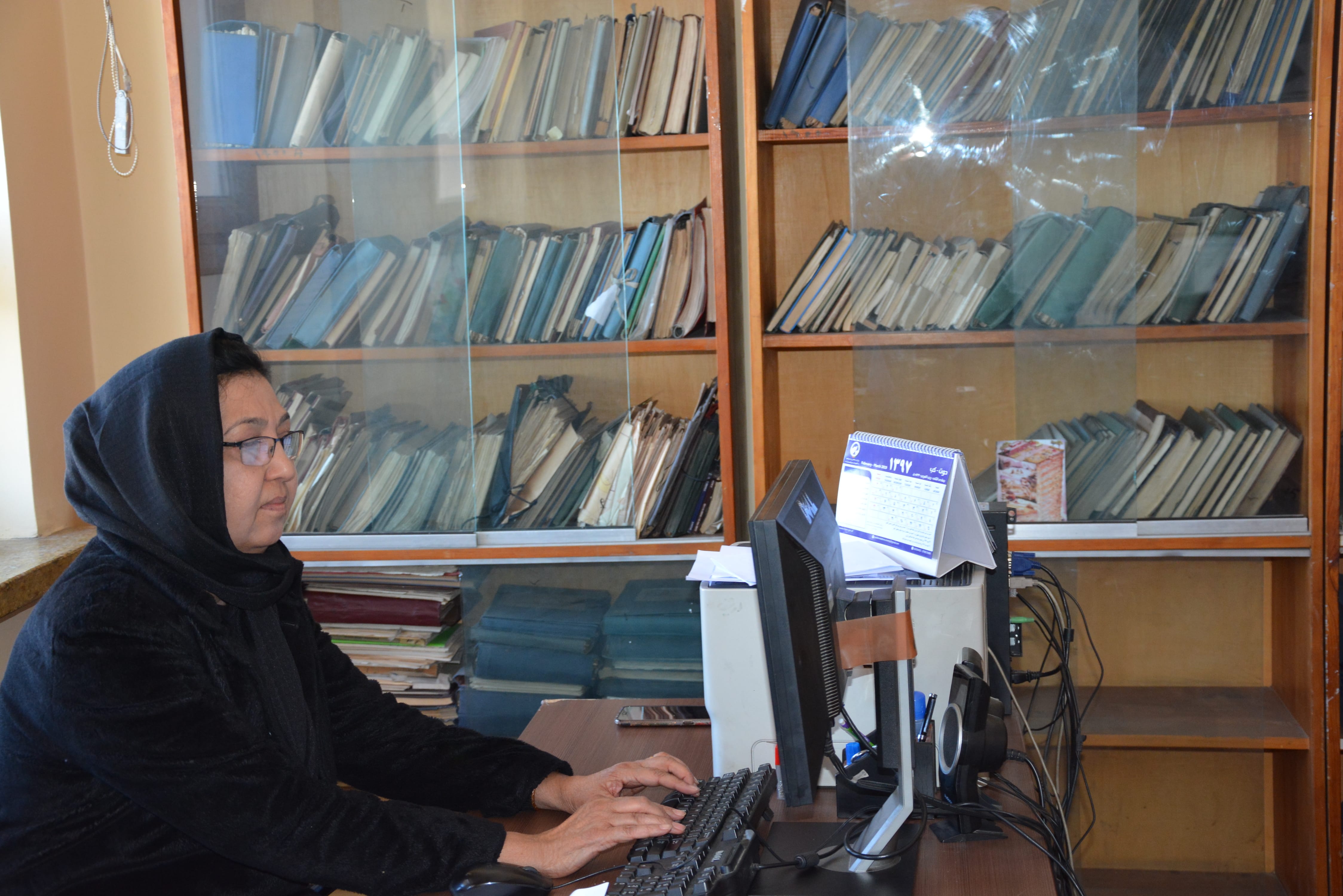
Geological Information Department
The Geological Information Department is responsible of storing all digital and printed geological information in the datacenter of Afghanistan Geological Survey. The investors can have access to these information upon the approval of top management. The geological information department has the below sections.
- Remote Sensing Management
- GIS Management
- Geological information registration Management
- Cartography and Binding Management
Remote Sensing Management:
Is responsible for processing and analyzing the satellite and aerial images.
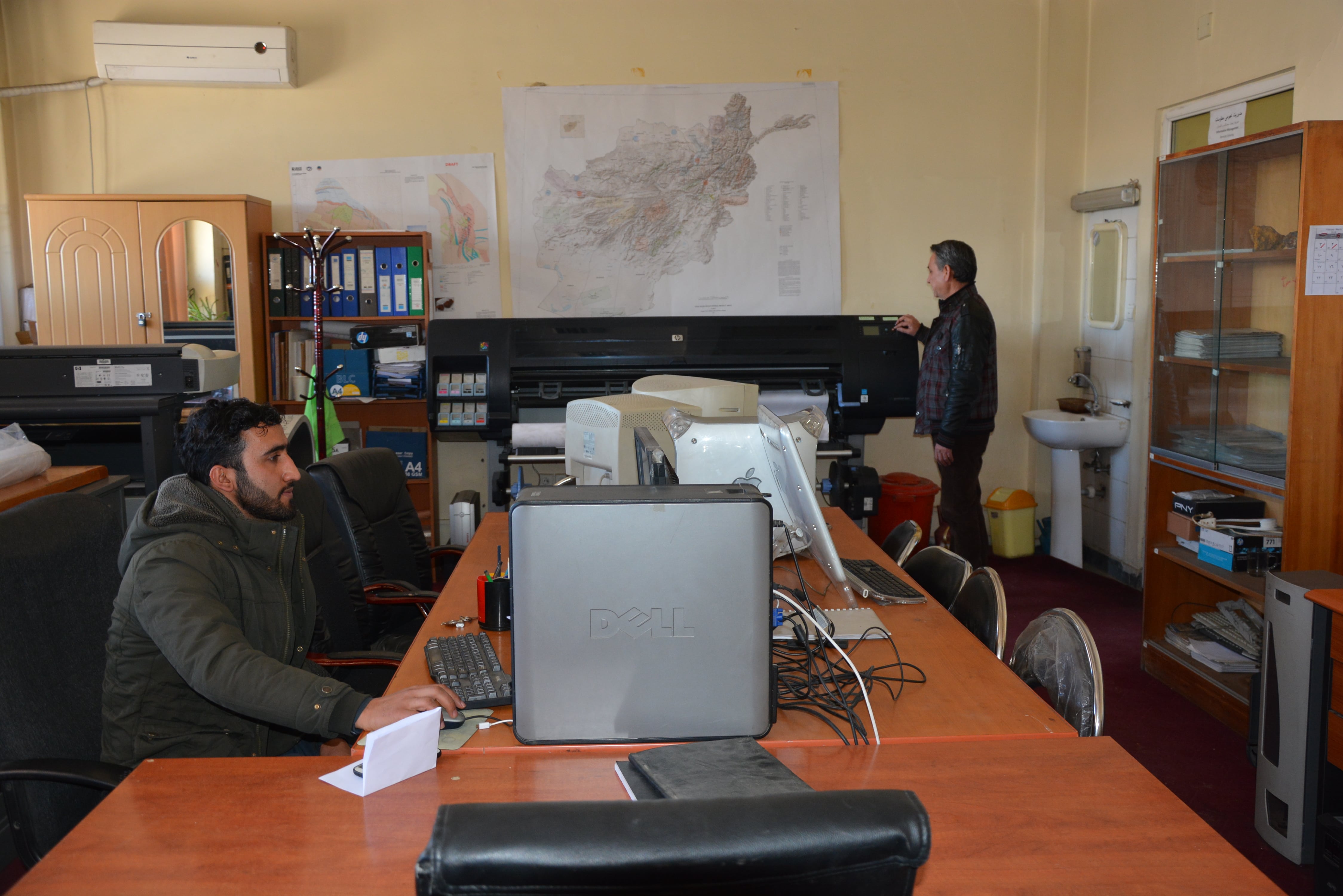
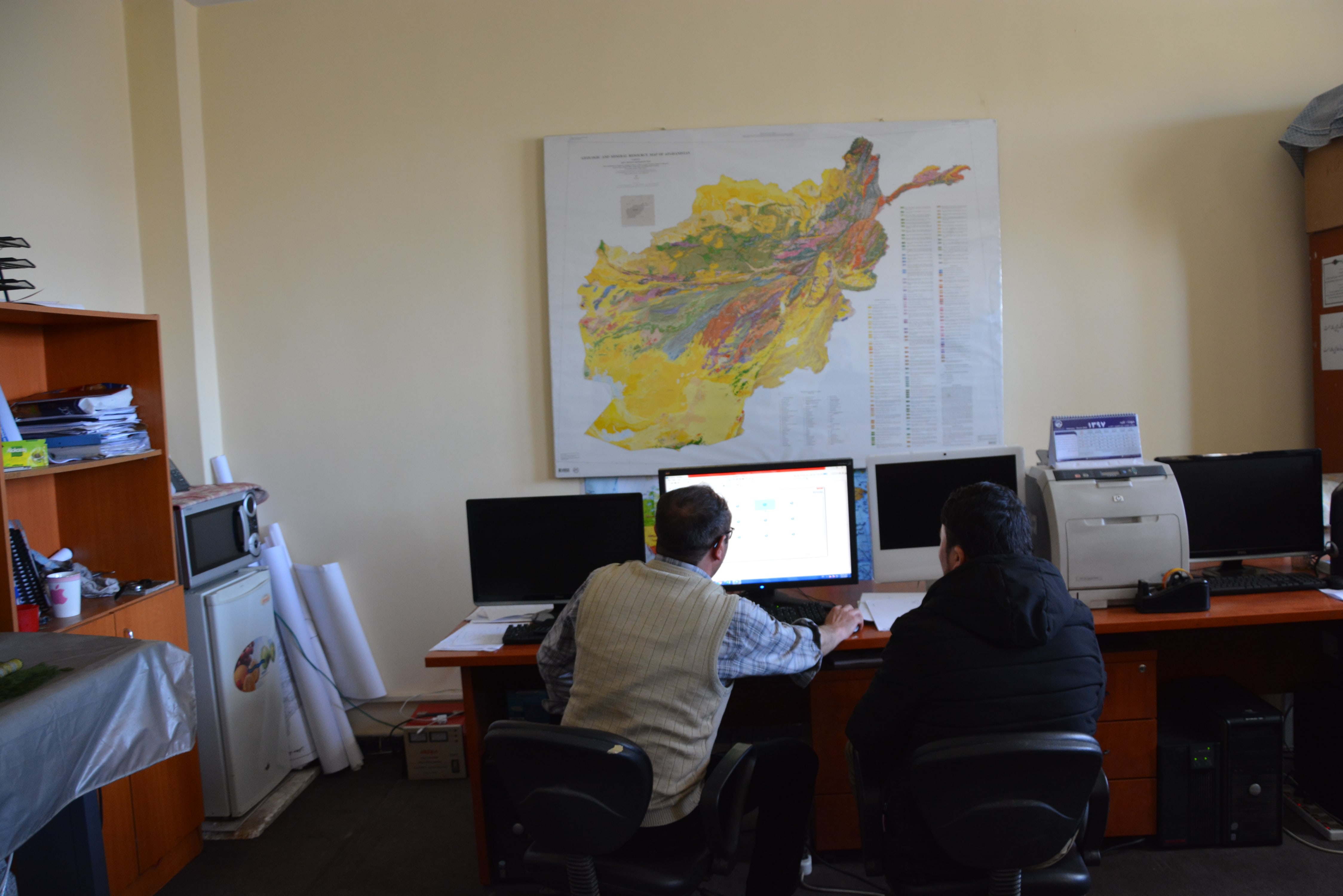
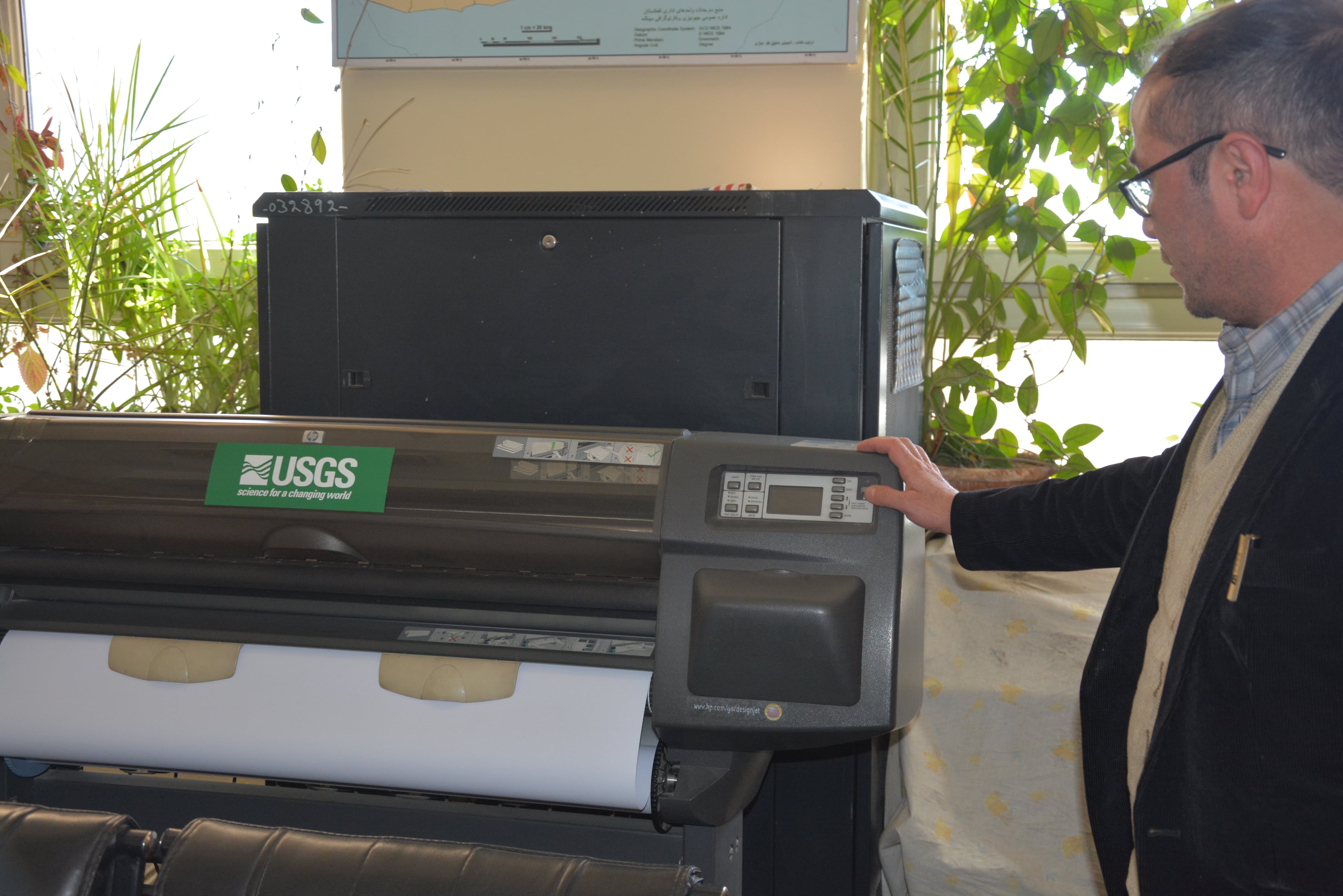
GIS Management:
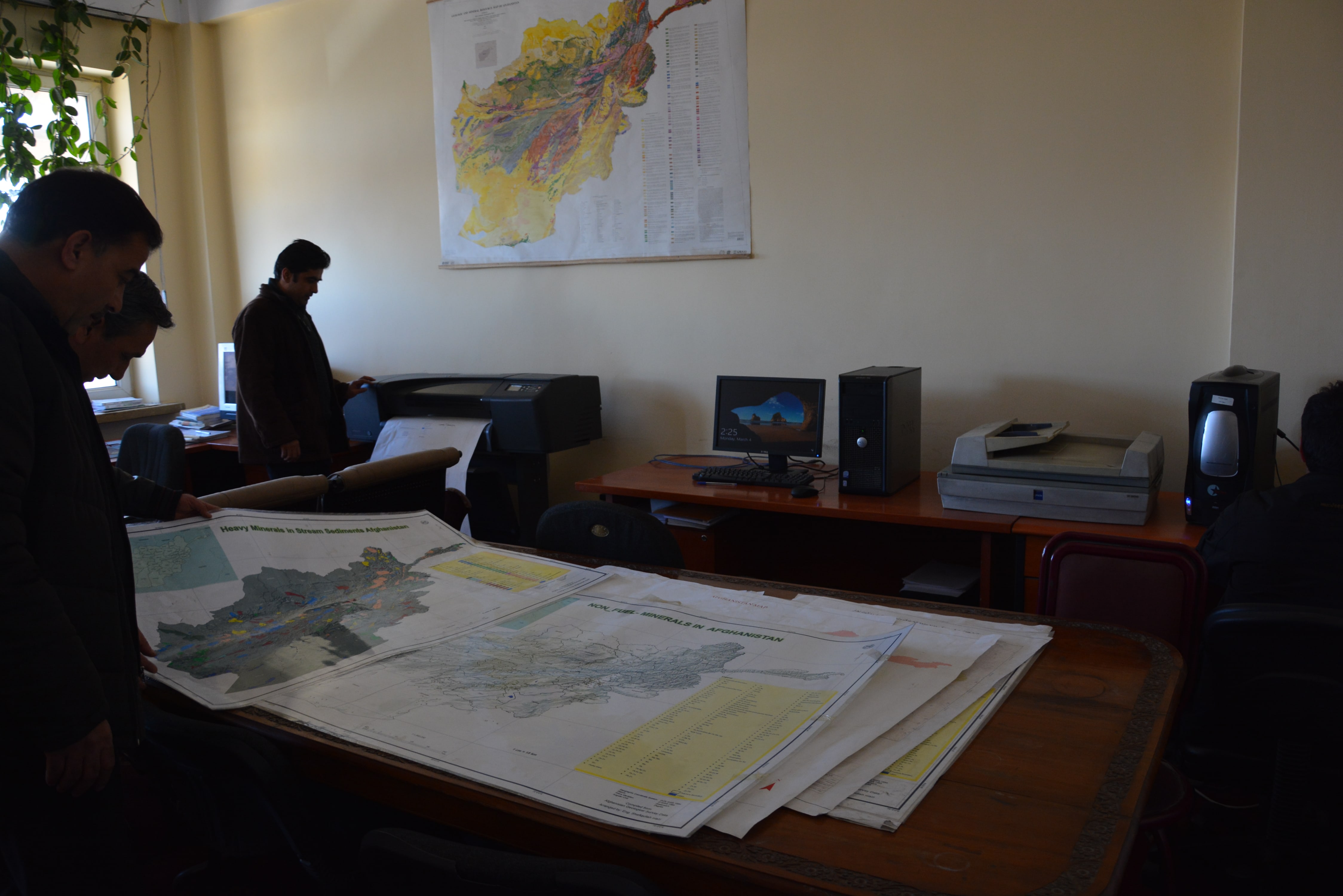
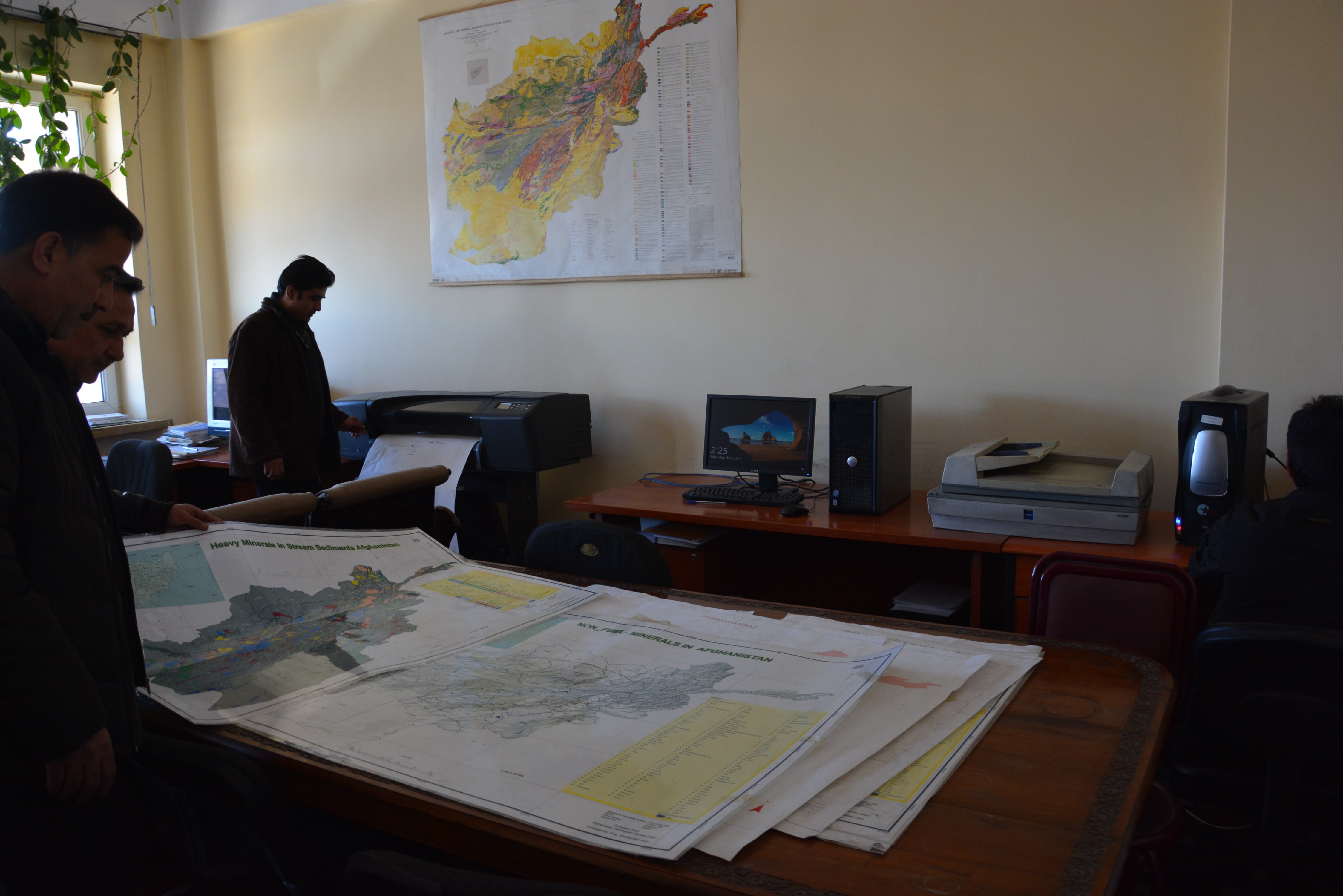
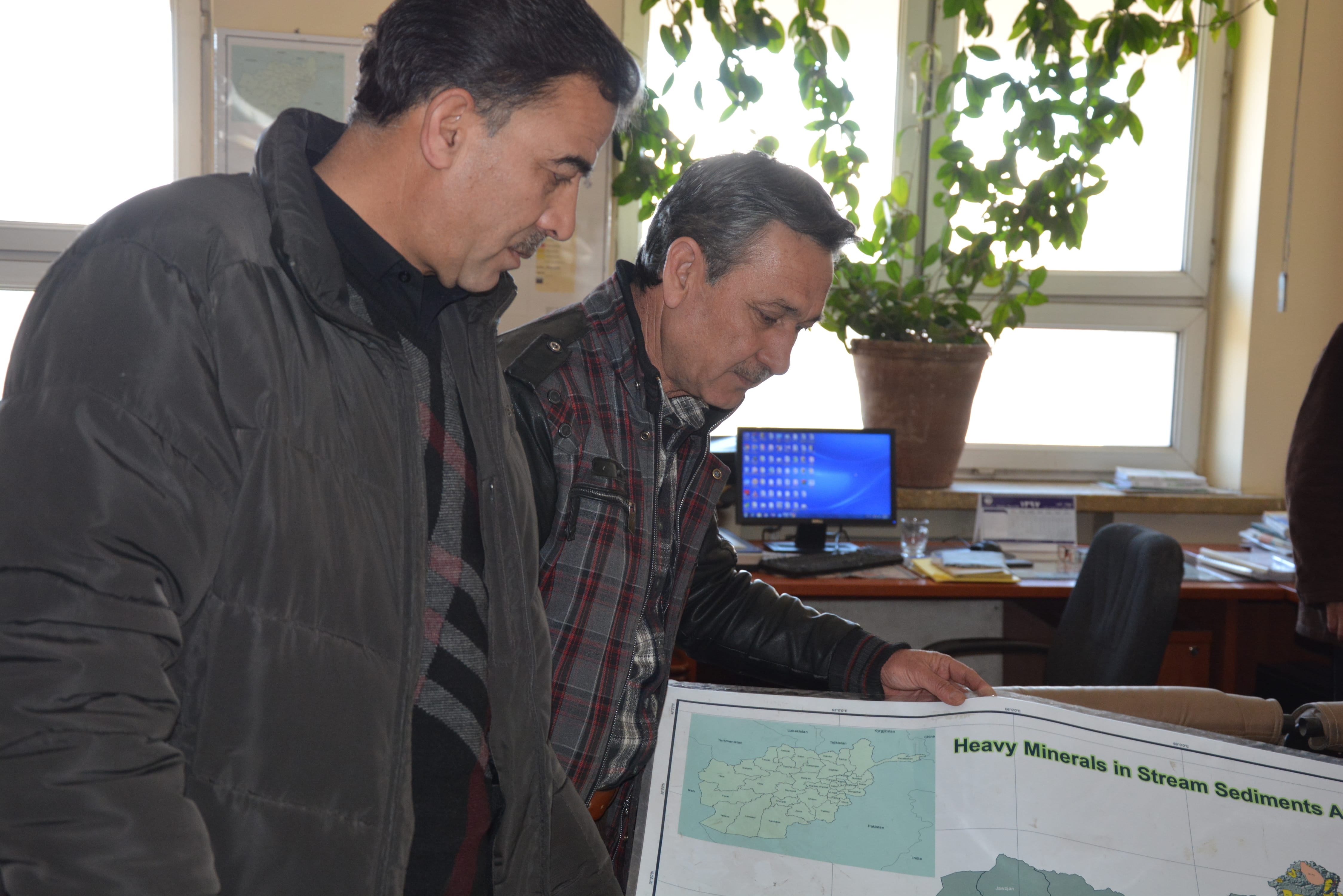
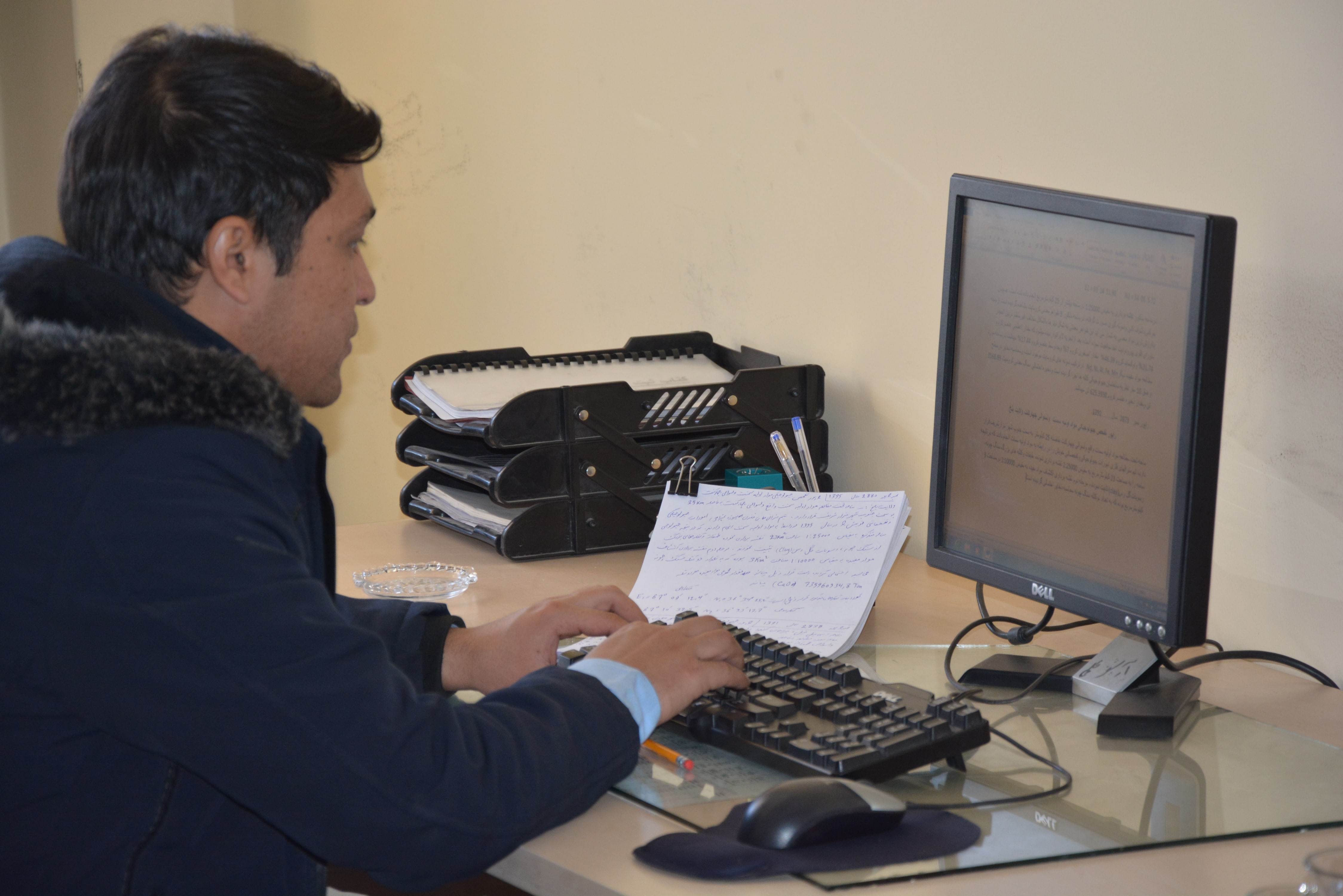
Is responsible for creation and printing of any kind of technical maps needed for Ministry of Mines and Petroleum. One of the main achievement of GIS management is the creation of maps from the field collected data, these collected data will be converted to Geological and topographical maps with different scales. The created maps will be stored in the data center of Afghanistan Geological survey.
Moreover, preparation of digital geological, lithological, morphological, topographical, hyperspectral and other types of maps from the satellite images, scan and print maps, and converting the analog maps to digital, design and preserving the data center of Afghanistan Geological Survey for access of researchers.
Geological Information Registration Management:
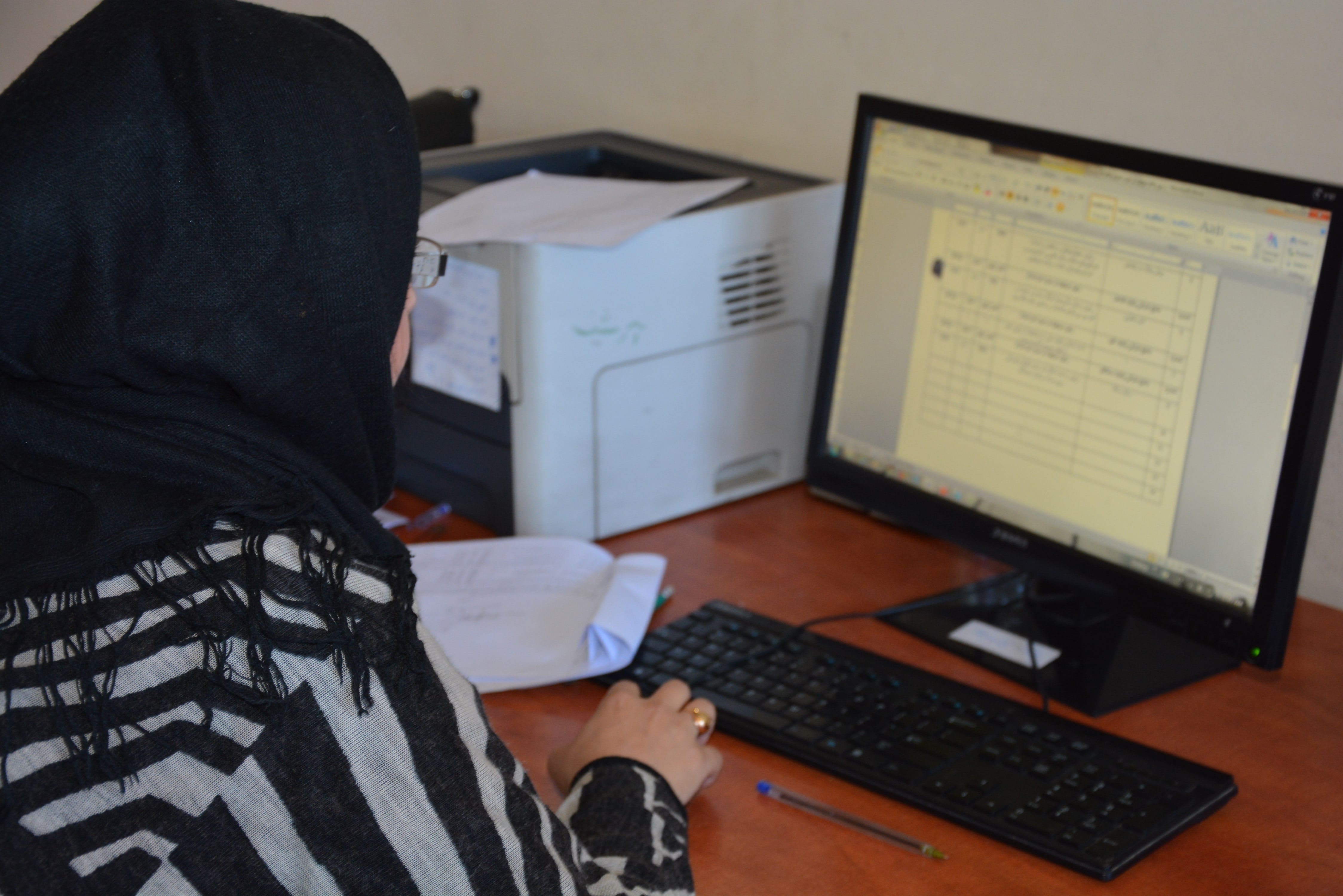
Is responsible to computerize the hard copy of geological report and converting it to digital format, which afterwards it will be preserved in to datacentre of Afghanistan Geological Survey.
Cartography and Binding Management:
Is responsible to draw the geological, lithological, cartographical maps with different scales from different areas using cartographical method. Moreover, this management is also responsible for report binding.
Geological Information Publication Department:
To promote the exploration programs for improvement of private sector mining activities through website, brochures, and magazines, moreover, the department is working to reflect the digital maps, exploration and exploitation report, field team works of Afghanistan Geological Survey on geology and mine. The Geological Information Publication Department has the two section below:
- Geological Information Publication Management
- Maps Publication Management
Geological Information Publication Management:
Is responsible for publishing the collected information from the field teams, governmental and private sectors related to mine. The collected information first will be scanned and it will be checked technically, and will be prepared in a specific format for brochures and website publication.
Maps Publication Management:
Is responsible to provide services for creating digital maps to overcome the Afghanistan Geological Survey needs. The geological, topographical and other types of maps needed will first be scanned, corrected and digitized, and provided for the requesters.