Mineral Suvey Directorate
Mineral (or Mines) Survey Directorate
Is one of the major directorates of the Afghanistan Geological Survey of the Ministry of Mines and Petroleum. This directorate is responsible to conduct geological studies and exploration of solid mineral resources in the country, which includes geological surveying and mapping, the exploitation and exploration of areas with mineral perspective to attract investment for the use of mineral resources in the country.
Main Activities
- Annual planning for the geological mapping, prospect and exploration of solid mineral resources with the differentiation of tasks to the teams, to predict of annual budget and human resources, including the organizing of programs for capacity building of the staff with internal and external educational institutions in terms of scientific and technical advancement and the office's ability to provide better geological services in the mining sector.
- Selection of areas for the field works based on geological background, national priorities, market, ease of access and security conditions.
- Determine, assign and dispatch field teams to the provinces for the planned activities.
- Supervision of the field work in accordance with accepted methods of geological mapping, sampling, prospecting and exploration.
- Setting up of the collected field samples for the analysis and acquiring of the laboratory results.
- Integration of all field raw materials and laboratory results into geological maps of different scales.
- Prepare annual geological reports of all field groups.
- Official submission of field reports in the form of texts, tables and graphs to the scientific archives of Geological Information Directorate for the use of clients and applicants.
- Implementation of any other tasks that the Mines Survey Directorate is required by law to implement.
Organizational structure
To carry out its technical duties, the Mineral Survey Directorate has the following two main departments:
-
General Department of Surveying and Mapping -
General Department of Mineral Survey.
Description of the activities of each section
Department of Surveying and Mapping
The main purpose of this department is to organize surveying and mapping activities to identify the mineral areas,
exploitation mineral resources and to complete the mapping of Afghanistan to a larger scale in order to achieve the
objectives of the Geological Survey.
Department of Surveying and Mapping is responsible for Managing and Leading surveying affairs, scientific and professional organizing and supervision of the personnel, organizing and Controlling the Collected Information, Ensuring about the implementation of rules and Regulations of staff’s job affairs in the Center and Provinces
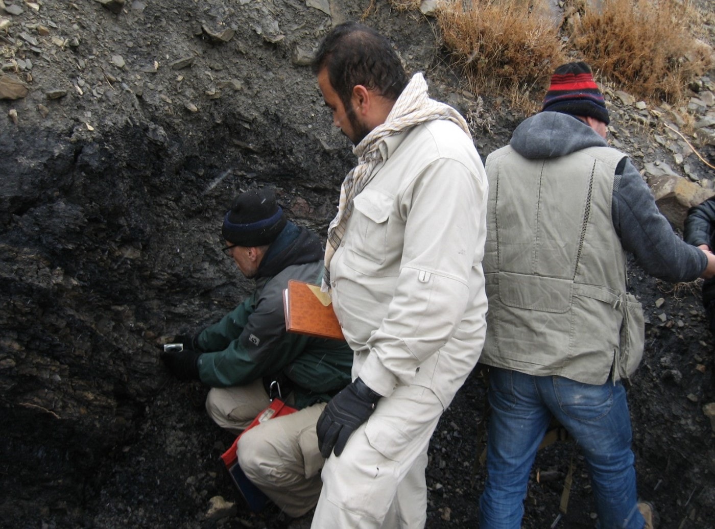
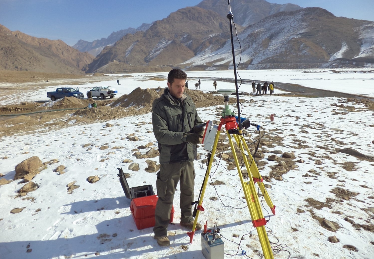
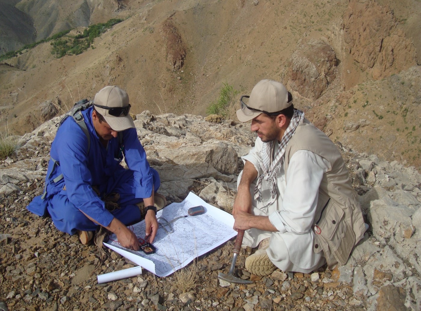
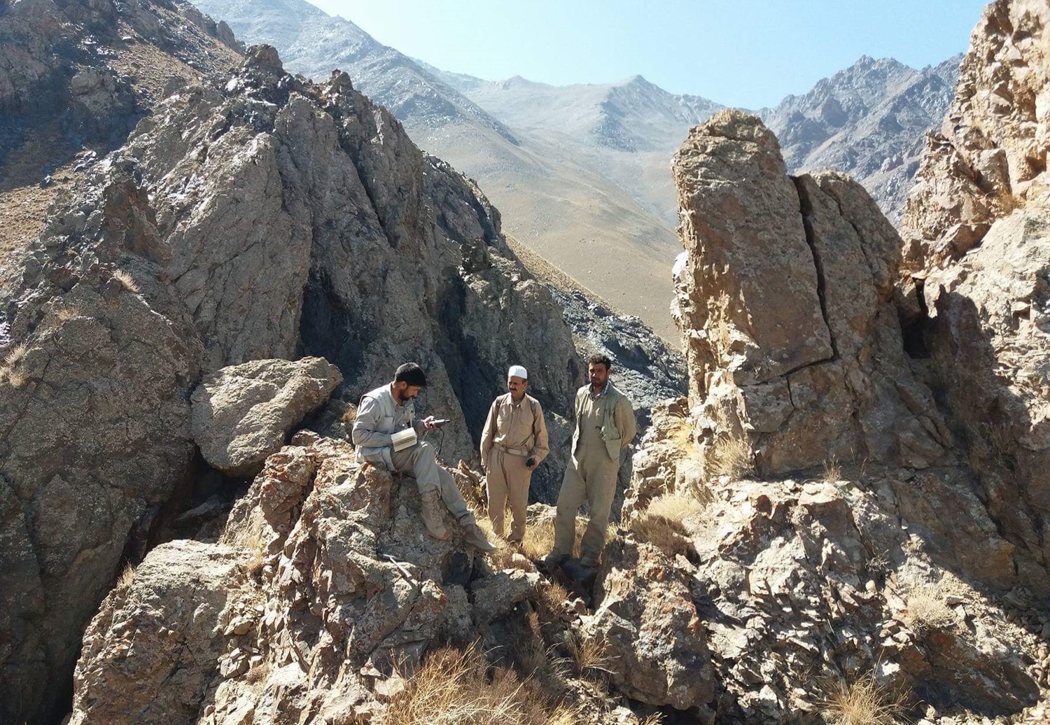
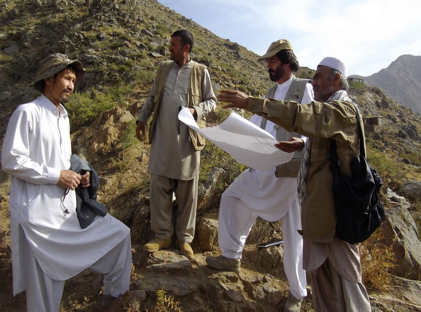
Survey and Mapping Departments work in two main areas of survey and mapping. Survey and mapping groups work as a one team for duty implementation. The goal of the mapping team is to implement prospecting, exploration, geological survey and geological mapping of the study area in different scales in order to identify underground resources and mines, preliminary calculations of minerals and to prepare detailed geological report of the study area. The responsibilities of each field team are as follows:
- Design and prepare relevant work plan in the light of the general plan of geological surveys
- Using of spatial and satellite imagery to enhance surveys and geological assessments
- Carrying out mapping projects, including regional geo-mapping, mineral areas mapping, industrial mineralization mapping
- Sampling in a variety of ways (stoichiometry, fermentation, etc.)
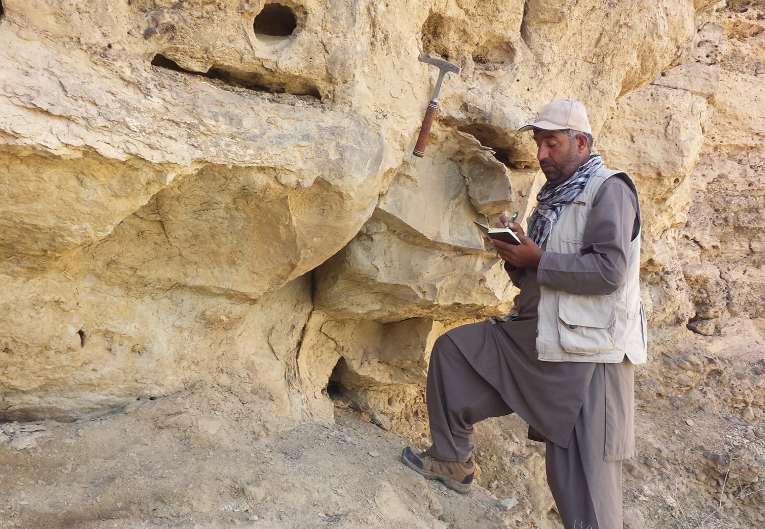
- Determining the contact and thickness of mineral occurrence in the study area.
- Preparing geological maps in different scales.
- Identifying mineral composition and primary diagnosis of rocks, studying and determining the minerals in the mineral zone
- Providing the real material map, lithological map, geological map, geological cross-sections, stratigraphic column, mineral resources map in different scales
- Analysis and evaluation of laboratory results and preliminary reserve estimation of mineral resources of the study areas
- Process and creating geological maps from the obtained data of the study areas using computer programs in particular the ArcGIS.
- Preparing and compilation of geological reports and technical reports.
This department collects all information regarding geology, such as the type of rocks, identification of the
mineral areas, age of the rocks, composition of the rocks, factors resulting on earth’s deformation such as
tectonic, the existence of magmatic masses and other information about chemical and physical erosion of
rocks from different part of the country and then, these collected data are published in the form of reports,
and various technical maps.
The given information is available in the scientific archives of the Department of Geological Information which was prepared in small scale by geological experts in the past. This information is used in the selection and initial information of the planned area for large-scale mapping. In addition, for ease, accuracy of the task and more updated information different programs and websites are used.
General Department of Mineral Survey
The General Department of Mineral Survey is responsible for conducting surveys, prospecting and exploration of the mineral resources of Afghanistan and to achieve the purpose of the relevant administration, which is responsible for:
responsible for:
- Collaboration on preparing and arranging field work plans in accordance with the Mineral Survey Directorates
- Collecting the preliminary information from the archive department of Geological Information Department in relevance to the planned areas.
- Arranging and organizing field teams for prospecting and exploration of mineral resources and dispatching them to planned areas.
- Monitoring and controlling the field activities of the teams in order to achieve better results.
- Sending various samples taken from the planned areas to Laboratory Directorate, obtaining the results and sending them to the relevant teams.
- Reviewing reports and maps of the different planned areas that were worked by field teams.
Organizational Structure
The department of Mineral Survey has the following section in its composition
- Department of Metallic Minerals
- Department of Gemology
- Department of Constructional Martial
- Department of Industrial Minerals
- Department of Coal
- Department of Geochemistry
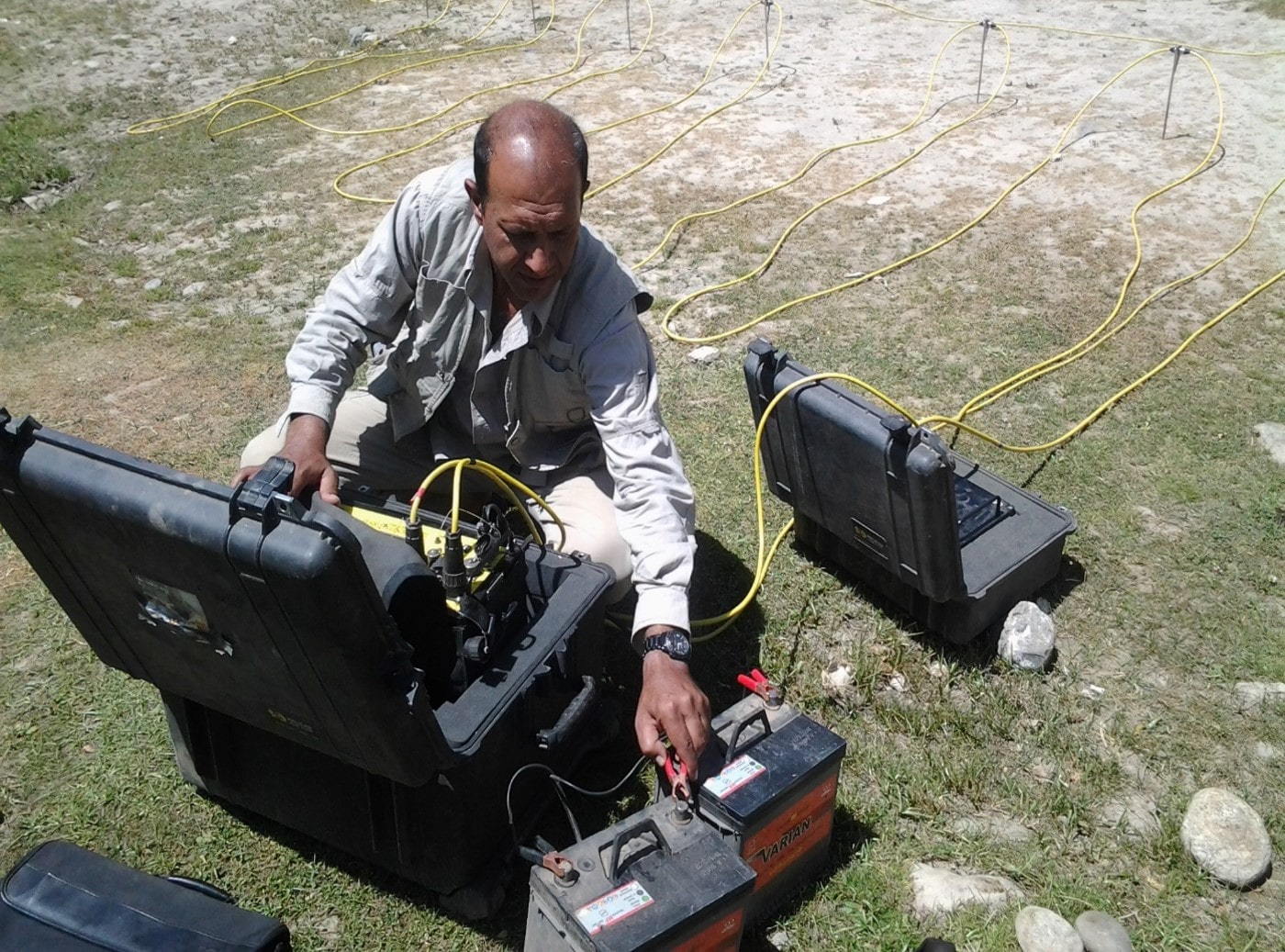
- Department of Geophysics
For example, the basic activities and responsibilities of the Geophysics Department are as follows:
The geophysics Department
The goal of Geophysics’ team is to create geophysical maps and diagrams of the study area, determination of physical properties of the materials in the area using geophysical methods for the purpose of preparing a detailed geophysical report. It is noteworthy that the objectives for the study and the studying methods must be completely clear before performing any kind of geophysical survey.
Responsibility of the Geophysics Department
- Field planning and determination of geophysical research methods for field surveys.
- Implementing geophysical surveys including mineral evaluation in regional level under supervision of expert geophysicist.
- Using of spatial and satellite imagery to enhance surveys and geophysical assessments
- Processing and making geophysical maps and 1D, 2D, and 3D geophysical models using specific computer programs.
- Interpretation of the geophysical maps and models
- Preparing geophysical reports
In this department, geological information is produced in the form of reports, maps (geological, lithological, real materials) and other information about the resources of the country related to minerals, rocks and elements.